Difficulty: Medium
Rating: 4/5
Duration: 4hr / 10km
Accessibility: Car
McDougal rim

Description:
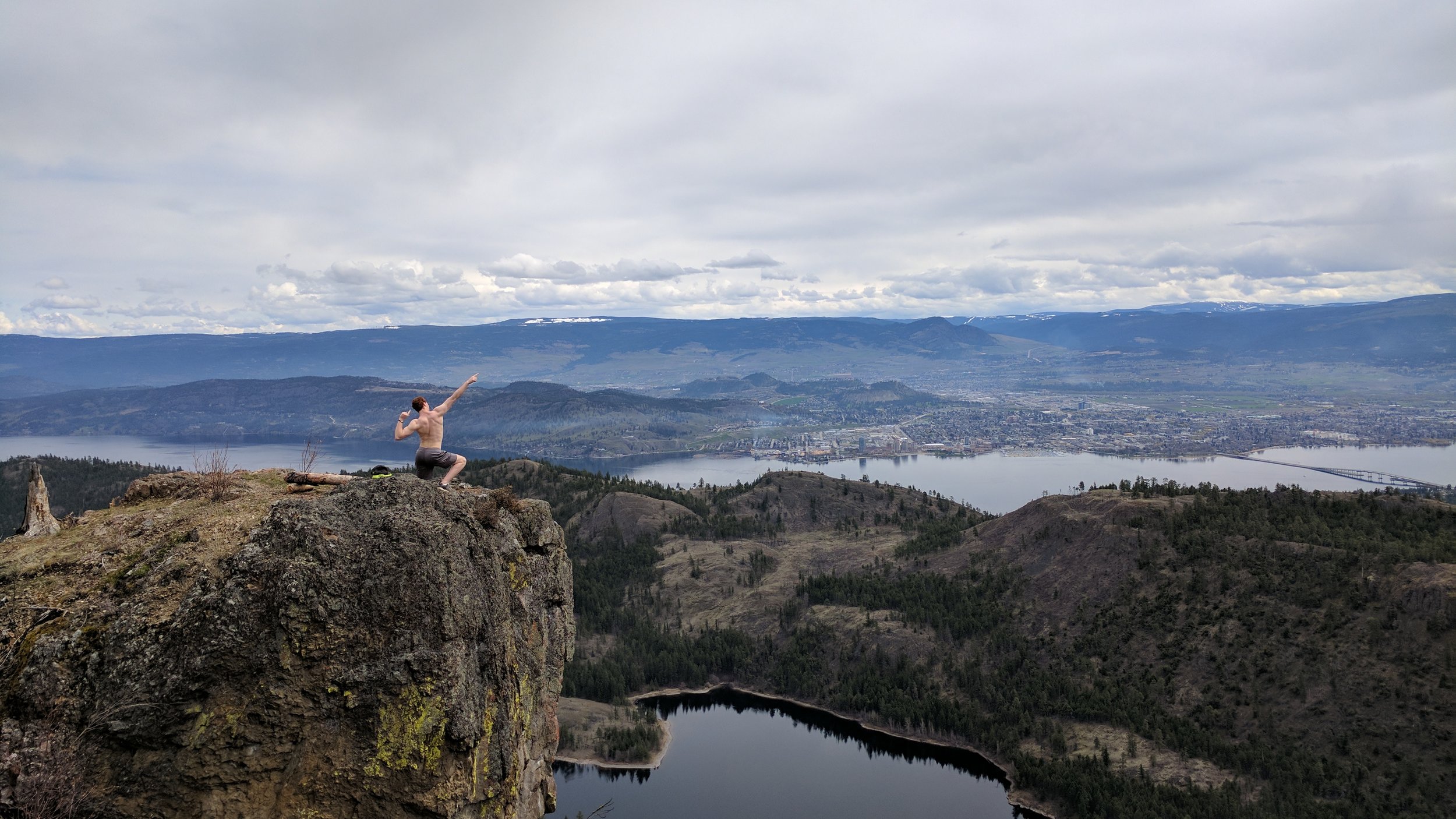
McDougal Rim is a fantastic hike for everybody. It's car accessible, easy and has an amazing payoff. To top it off, it's just a 20-minute drive from downtown Kelowna.
Start the hike with an intense incline for 5-10 minutes depending on your pace. After that, it's all gradual incline and beautiful views.
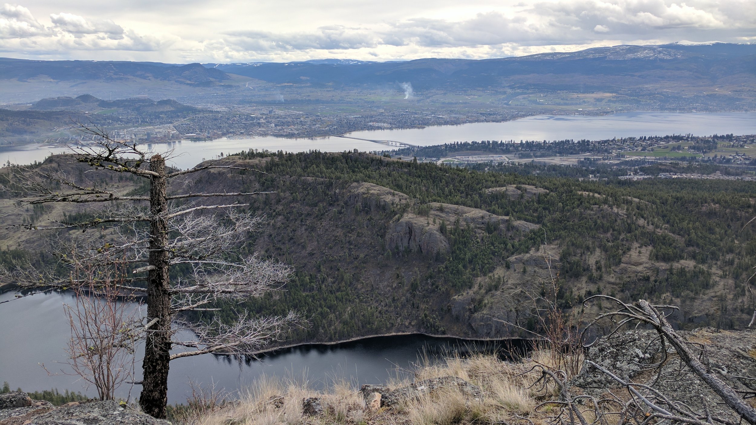
Bring a friend new to hiking, your dog, heck bring your mom! Everybody will have an amazing time at the cliff-side view of the Okanagan Lake. Don't forget to get an amazing shot for Instagram!
Directions:
This hike is approximately 15 minutes drive from downtown Kelowna.
- Coming from Kelowna drive over the bridge towards West Kelowna.
- Take a right at Bartley Rd.
- Shortly after, take a left onto Shannon Lake Rd.
- Take your next right to get back onto Bartley rd.
- Follow this road for 2.0km past the farms and wineries until you reach a clearing with markings for the trailhead.
- Park your vehicle to begin the hike.
Click to view this route on GoogleMaps!
GPS Coordinates:
- Parking / trailhead: 49.885116, -119.588433
Features:
- Viewpoint
- Cliffs
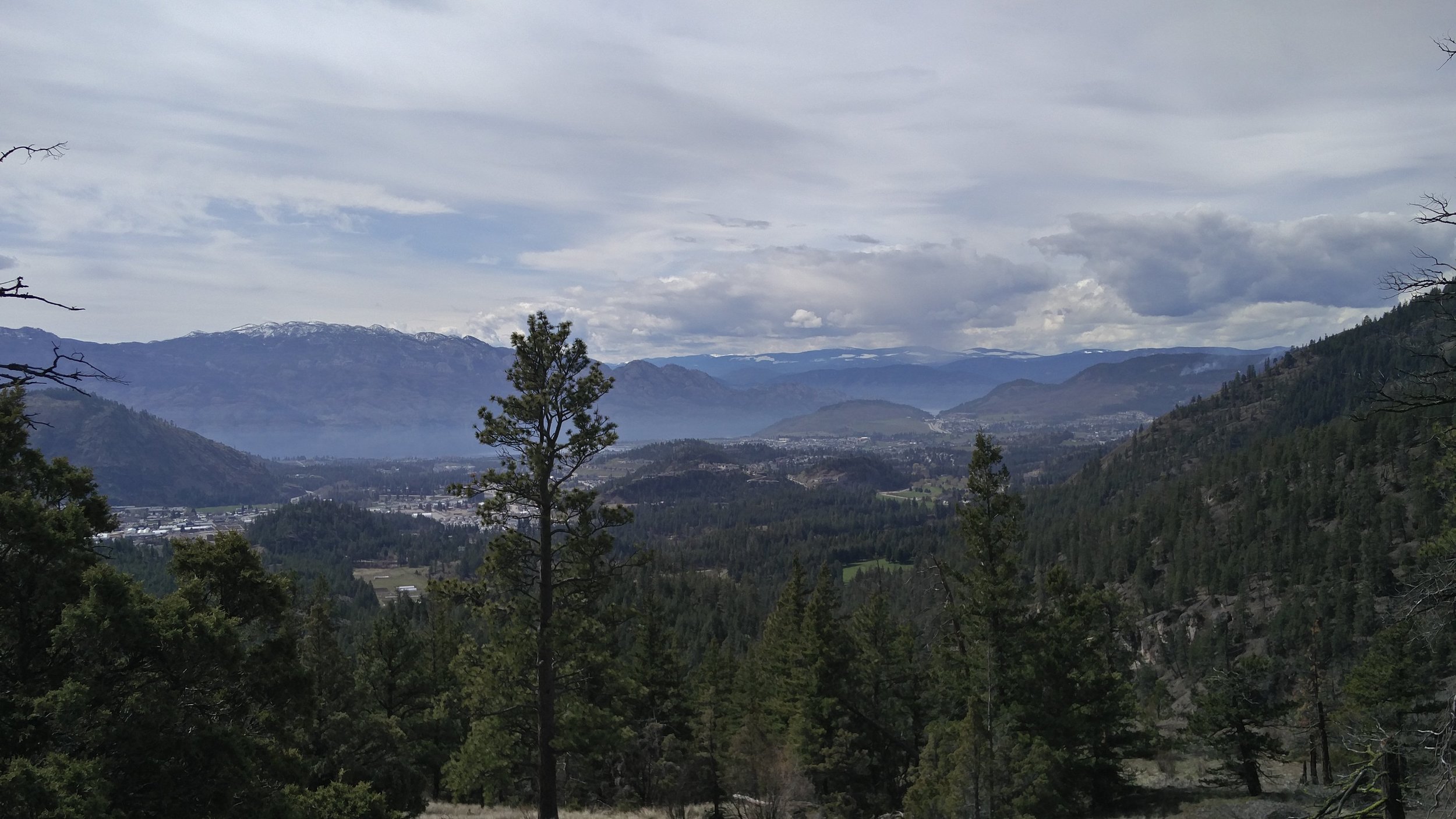
- Views of Kelowna
- Views of Okanagan Lake
- Dog Friendly