Difficulty: EASY
Rating: 4/5
Duration: 1-2hr / 1.5km
Accessibility: car
FALLS lake


Description:
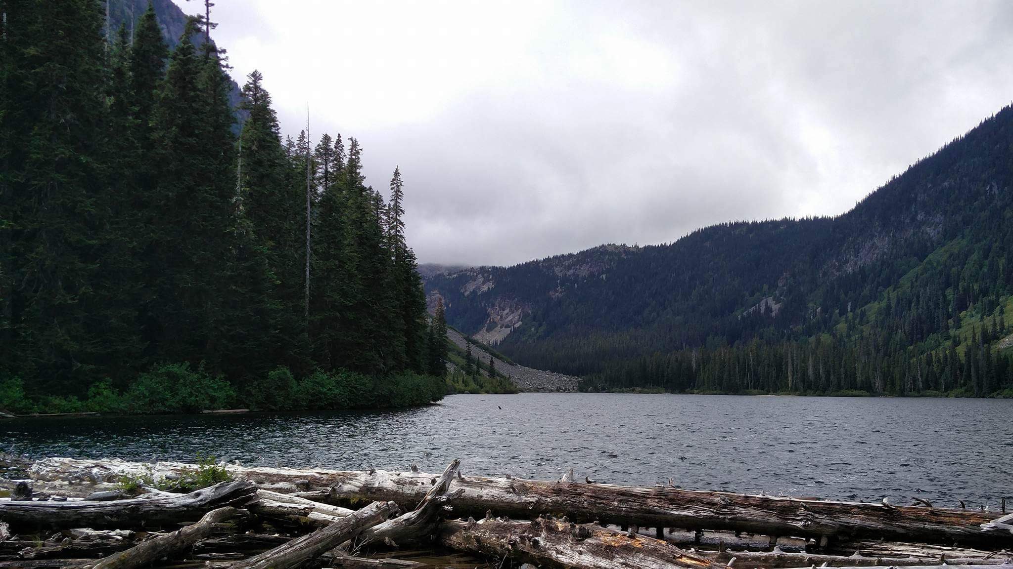
Falls Lake is located near the Coquihalla Summit rest area, just a stone's throw away from Yak Peak and Needle Peak. Falls Lake provides a great view of the surrounding summits with the bonus of having the accessibility of a short hike, making it a perfect spot to break during a trip along the Coquihalla.
Being located only .75km from the parking and with fairly minimal elevation change, it is possible (with a short portage) to bring kayaks or a canoe to the lake. There is a really cool spot for camping on the far side of the lake with white sand beaches nestled between Nak Peak and Zoa Peak, but there is no path to get there so some bushwhacking around the lake would be required.
Although this hike is only a 1.5km round trip from the parking lot, we spent around five hours exploring and hiking up the various rock chutes along the lake's edge. There is truly a feeling of untouched natural beauty here, yet it's only a short detour off the Coquihalla.
Directions:
This hike is approximately 2 hours 15 minutes drive from Kelowna, or 2 hours 20 minutes from Vancouver.
- Driving from Kelowna, head over the bridge going South on Highway 97 towards Vancouver.
- Once you reach Merrit, turn onto Highway 5 South towards Vancouver.
- Drive for 65.5km until you see Exit 221 for Falls Lake, just before the Coquihalla Summit Recreational Area on your right.
- Turn right at the sign for Falls Lake and follow this road for 1.0km.
- You will see a clearing at the end of the road. Park here.
Click to view this route on GoogleMaps!
GPS Coordinates:
- Falls Lake turnoff: 49.610133, -121.053504
- Parking area/ trailhead: 49.612375, -121.064691
Features:
- Lake
- Campsites
- Mountain views
- Dog friendly
- Jogging Trail
